Old World Auction
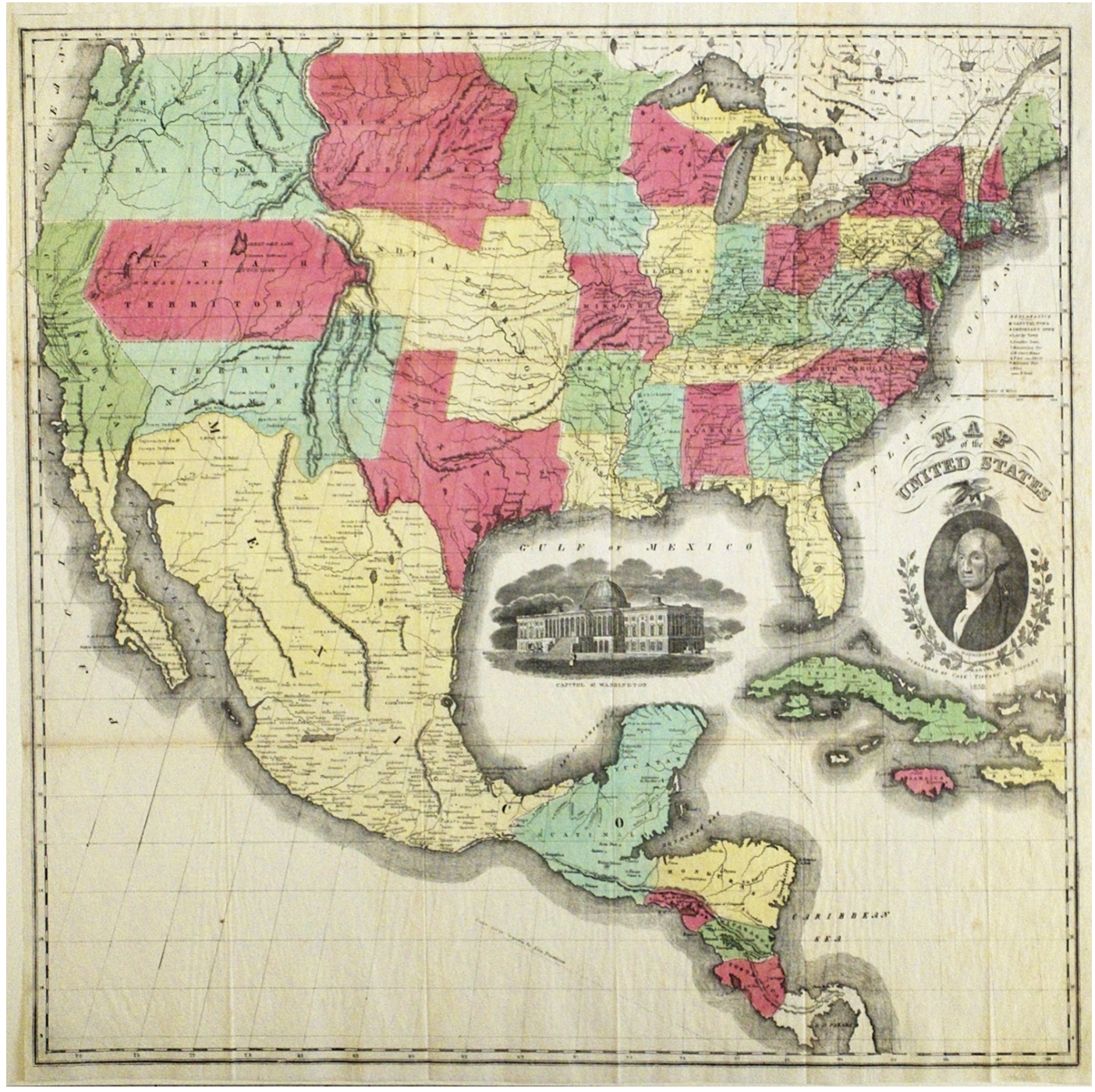
Map of United States showing the result of 1851
Map of United States showing the result of 1851
Couldn't load pickup availability
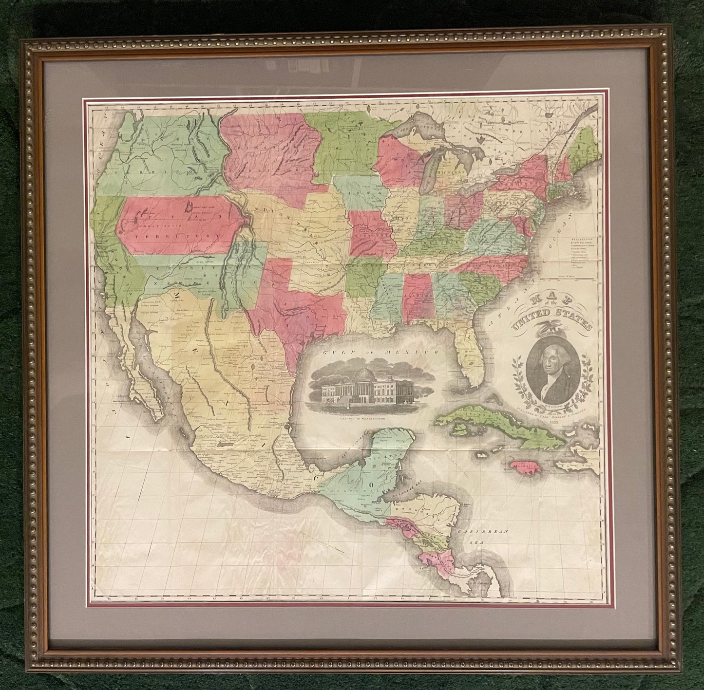
[Framed]
Source: Case Tiffany & Company Publication
Date: 1851
Size: 23.5 x 24 inches (print in frame); 29.75 x 30.5 inches (framed)
Description: A scarce large format map of the United States with striking insets of a President Washington and a view of the Capitol of Washington. The projection oddly distorts and for-shortens the western portion of the U.S. The very interesting territorial configurations include the pre-Gadsden Purchase border with Mexico, a large Oregon Territory occupying the entire Northwest and extending to the Continental Divide. Bordering Oregon a huge Missouri Territory that extends east to an oversized Minnesota Territory at the Missouri River. The very large Indian Territory sits between Utah, Missouri, and Missouri Territory. Utah and New Mexico are their largest extent. In Utah is the Mormon Settlement at the Great Salt Lake. The map extends to include most of Central America and the western part of the West Indies.
Condition: A due to seams present
Share